GEN 2.3 CHART SYMBOLS
1 AERODROMES
| No. | Description | Symbol |
|---|---|---|
| 1 | Civil (land) | 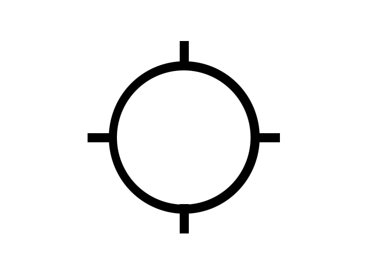 |
| 2 | Military (land) | 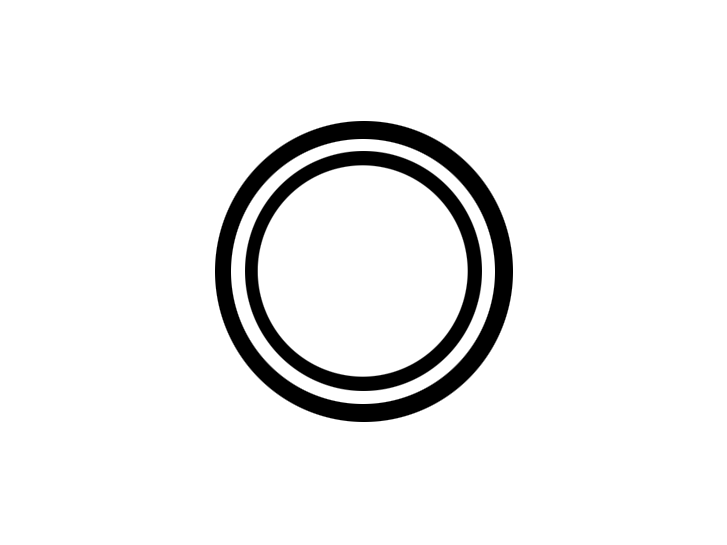 |
| 3 | Emergency aerodrome or aerodrome with no facilities |  |
| 4 | Sheltered anchorage | 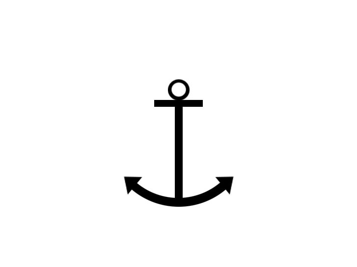 |
| 5 | Heliport | 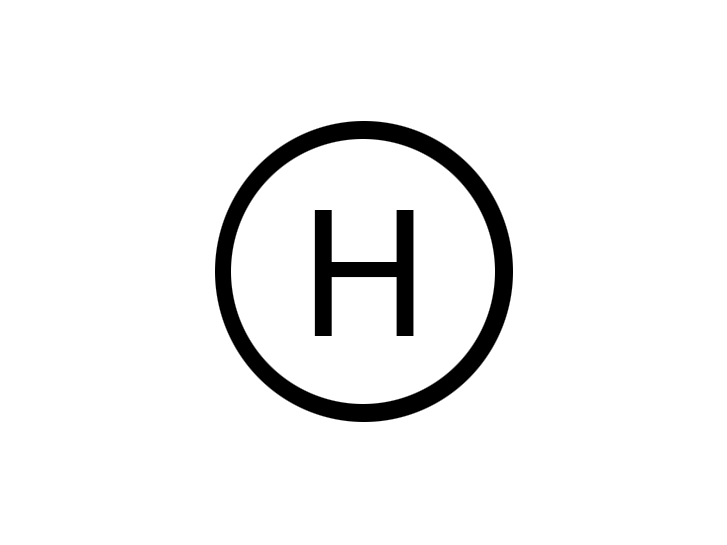 |
2 RADIO NAVIGATION AIDS
| No. | Description | Symbol |
|---|---|---|
| 1 | Basic radio navigation aid |  |
| 2 | Distance measuring equipment | 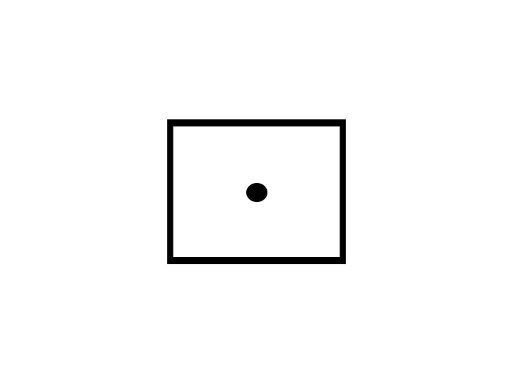 |
| 3 | Collocated VOR and DME radio navigation aids | 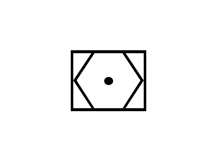 |
| 4 | VOR and TACAN combination - VORTAC | 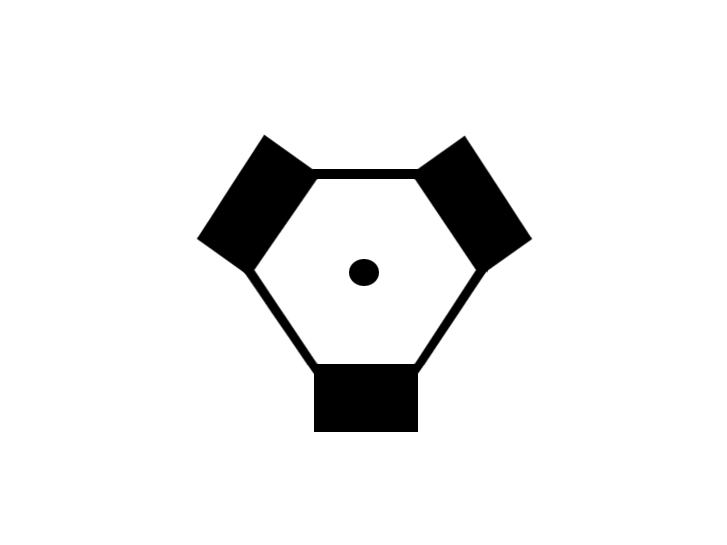 |
3 AIRSPACE
| No. | Description | Symbol |
|---|---|---|
| 1 | Compulsory reporting point |  |
| 2 | On request reporting point |  |
| 3 | Final approach fix |  |
| 4 | Compulsory fly-by |  |
| 5 | Fly-by point |  |
| 6 | Fly-over point | 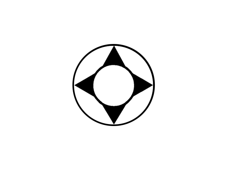 |
| 7 | Restricted airspace (prohibited, restricted or danger area) | 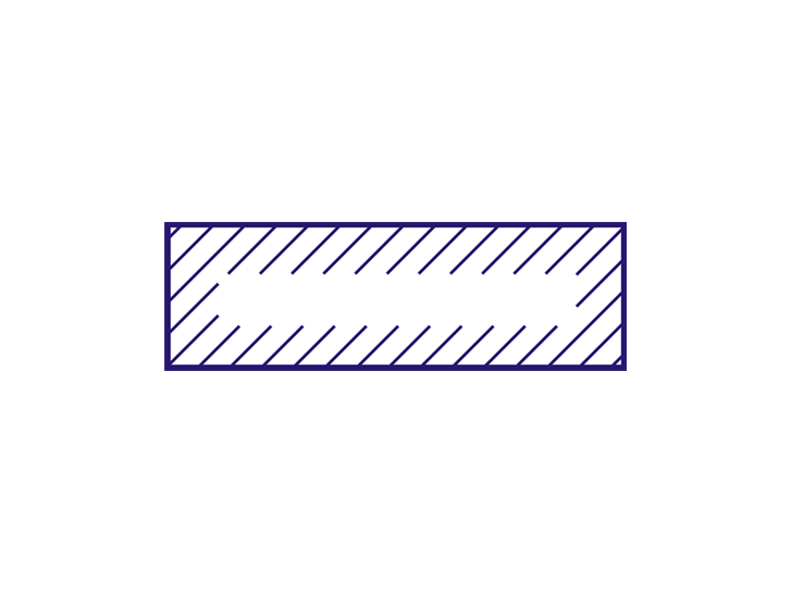 |
| 8 | Common boundary of two areas | 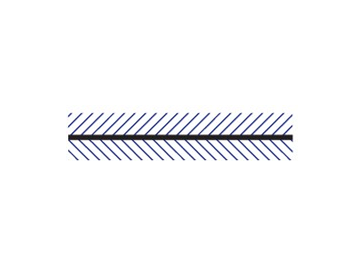 |
4 AERODROME CHARTS
| No. | Description | Symbol |
|---|---|---|
| 1 | Hard surface runway |  |
| 2 | Unpaved runway | 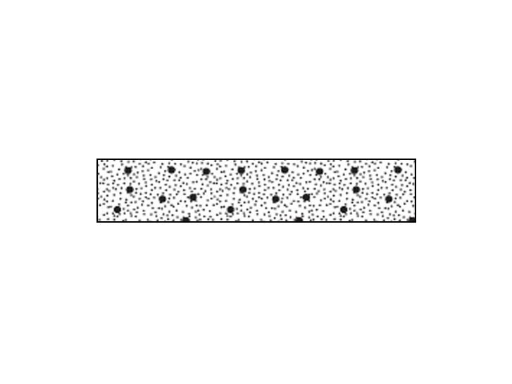 |
| 3 | Stopway |  |
| 4 | Aerodrome reference point (ARP) | 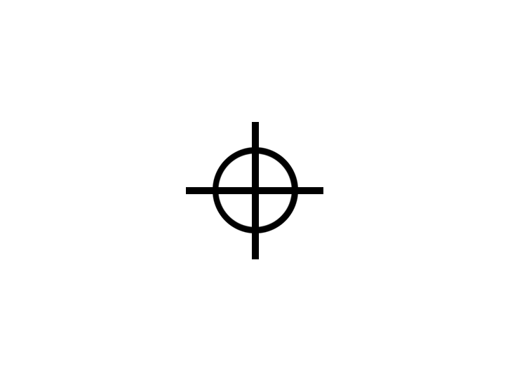 |
| 5 | Taxiways and parking areas | 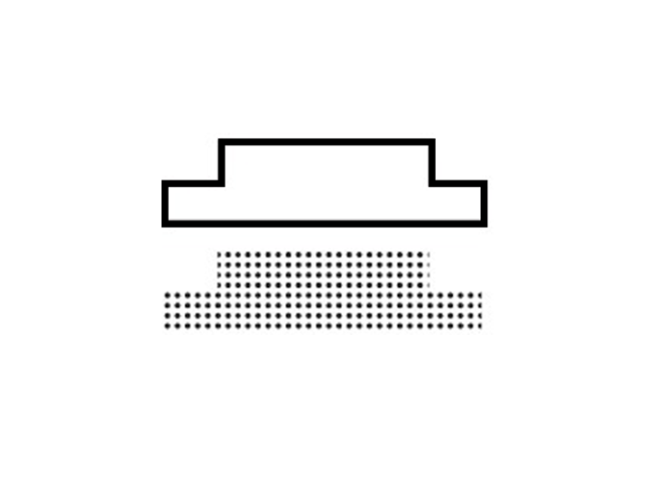 |
| 6 | Wind direction indicator (lighted) |  |
| 7 | Wind direction indicator (unlighted) | 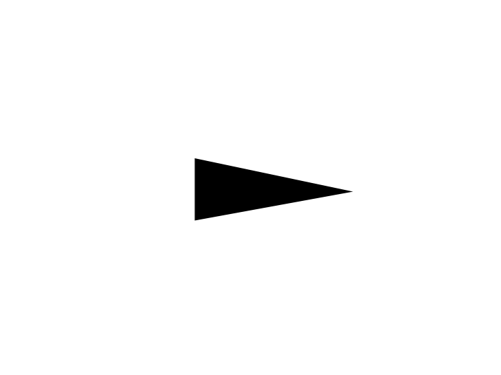 |
| 8 | Runway-holding position (Pattern A) | 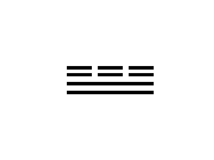 |
| 9 | Runway-holding position (Pattern B) | 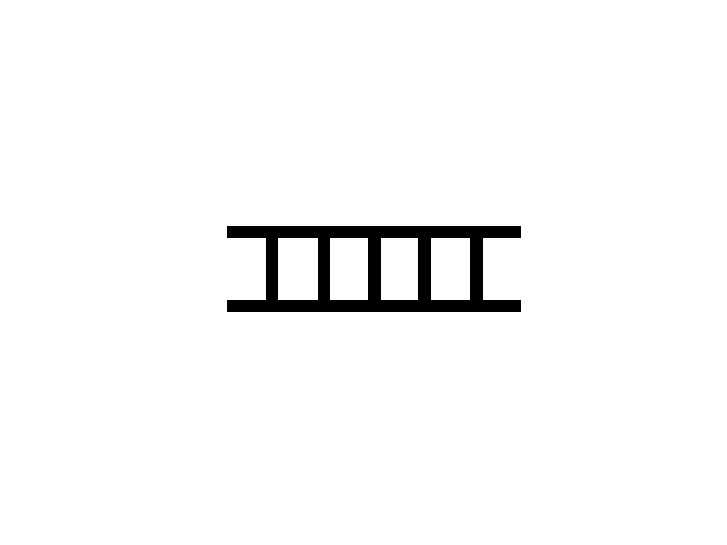 |
| 10 | Runway visual range - RVR | 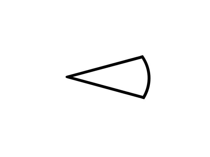 |
| 11 | Stop bar |  |
| 12 | Landing direction indicator (lighted) |  |
| 13 | Landing direction indicator (unlighted) |  |
5 OBSTACLES
| No. | Description | Symbol |
|---|---|---|
| 1 | Obstacle | 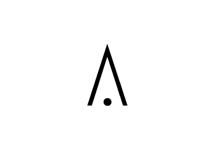 |
| 2 | Lighted Obstacle |  |
| 3 | Group Obstacles |  |
| 4 | Lighted Group Obstacles |  |
| 5 | Exceptionally high obstacle – lighted |  |
| 6 | Elevation of top of obstacle above sea level (italics). Height above specified datum (upright type in parentheses). | 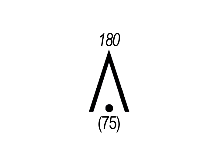 |
6 MISCELLANEOUS
| No. | Description | Symbol |
|---|---|---|
| 1 | International boundary |  |
| 2 | Transmission line or overhead cable | |
| 3 | Isogonal | 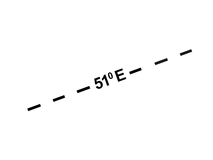 |
Aerodromes
1 Charts other than approach charts
| No. | Description | Symbol |
|---|---|---|
| 1 | Civil (land) | .jpg) |
| 2 | Civil (water) | .jpg) |
| 3 | Joint civil and military (land) | .jpg) |
| 4 | Joint civil and military (water) | .jpg) |
| 5 | Military (land) | .jpg) |
| 6 | Military (water) | .jpg) |
| 7 | Emergency aerodrome or aerodrome with no facilities |  |
| 8 | Sheltered anchorage | 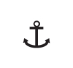 |
| 9 | Heliport |  |
2 Approach charts
| No. | Description | Symbol |
|---|---|---|
| 1 | The aerodrome on which the procedure is based | 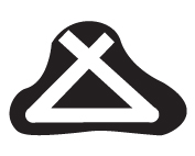 |
| 2 | Aerodromes affecting the traffic pattern on the aerodrome on which the procedure is based | 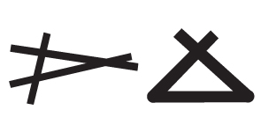 |
3 Aerodrome charts
| No. | Description | Symbol |
|---|---|---|
| 1 | Hard surface runway |  |
| 2 | Unpaved runway | 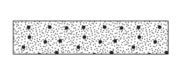 |
| 3 | Stopway |  |
Aerodrome installations and lights
| No. | Description | Symbol |
|---|---|---|
| 1 | Aerodrome reference point (ARP) |  |
| 2 | Taxiways and parking areas | 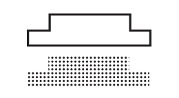 |
| 3 | Control tower | 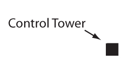 |
| 4 | Point light |  |
| 5 | Barrette |  |
| 6 | Marine light |  |
| 7 | Obstacle light |  |
| 8 | Aeronautical ground light |  |
| 9 | Wind direction indicator (lighted) |  |
| 10 | Wind direction indicator (unlighted) | .jpg) |
| 11 | Landing direction indicator (lighted) | .jpg) |
| 12 | Landing direction indicator (unlighted) | .jpg) |
Miscellaneous
| No. | Description | Symbol |
|---|---|---|
| 1 | Highest elevation on chart |  |
| 2 | Obstacles Note.– Numerals in italics indicate elevation of top of obstacle above sea level. Upright numerals in parentheses indicate height above specified datum. | 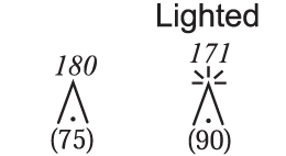 |
| 3 | Group obstacles Note.– Numerals in italics indicate elevation of top of obstacle above sea level. Upright numerals in parentheses indicate height above specified datum. | 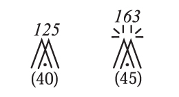 |
| 4 | Restricted airspace (prohibited, restricted or danger areas) | 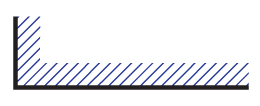 |
| 5 | Common boundary of two areas | 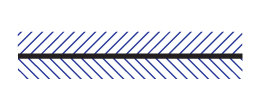 |
| 6 | Air defence identification zone (ADIZ) | 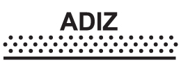 |
| 7 | Transmission line or overhead cable | |
| 8 | Isogonal | 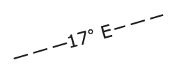 |